Days Of The Celtic Sun: Paddleboarding the South West Peninsula
Feature type Story
Read time 17 min read
Published Jun 03, 2021
Author David Pickford
Photographer David Pickford
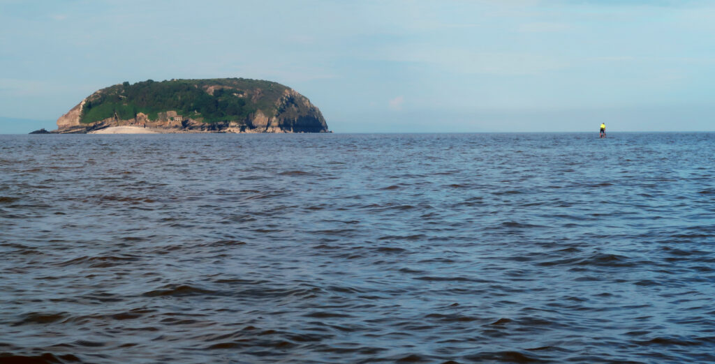
I live close to the edge of an island. The sea is an inescapable presence here. It’s where you’ll end up if you walk out of the door and keep going in a vaguely straight line. On my local streets, there’s often a tang of salt in the southwest wind as it blows up the river from the estuary. At dawn and dusk, wild gulls wheel across the warehouse rooftops and ride the convection currents through the alleyways. The sea isn’t an abstract thing somewhere beyond the horizon: it is the horizon. And if you head southwest, it goes on and on – until you reach America.
Heading west towards Woody Bay and Bull Point, North Devon, at sundown.
At the beginning of the best journeys of your life, you often don’t know your final destination; you can’t really imagine the end. We’re talking about the kind of journey, in fact, when the outcome remains unknown until the very last days. This was one of these journeys.
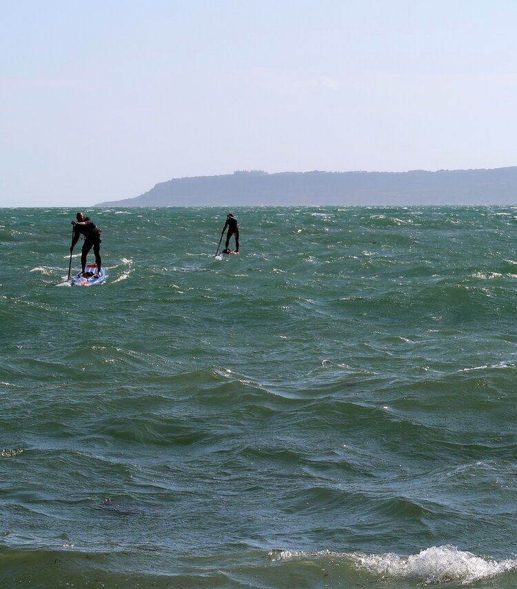
In 2013, I began experimenting with standup paddleboarding as an alternative to both sea kayaking and whitewater kayaking as a way of exploring coasts and rivers. I was initially attracted to the concept of standing on the water rather than being confined within a tiny hull. I quickly began to realise that once you’ve mastered the various techniques, and with the required level of fitness, you can do pretty much anything you can do in a sea kayak on a standup paddleboard. It was a transformational realisation. It was this new understanding that directed me, several years ago, towards an unusual adventure: a journey around Southwest England, one of the finest stretches of coast anywhere in the world, by SUP. The concept was simple. It would not be a continuous expedition, but rather a series of shorter trips, eventually forming a complete journey around the peninsula. This was going to be a jigsaw-like, jazz improvisation of an expedition composed of separate parts, and completed over several years. This was forced by the unique demands of my chosen mode of travel as well as the necessities of fitting a long distance voyage around work and ordinary life.
When travelling significant stretches of open water using a small craft, good planning and logistics is usually critical. Long trips linking estuaries, headlands, islands and the open ocean become possible with experience. SUPs are considerably more wind-affected than sea kayaks, due to their lack of draught and the fact that your body can act as a sail. Whilst it is possible to paddle upwind, if you want to travel distances of more than fifteen or twenty kilometres in one push, it is a huge advantage to plan your journeys with the wind, the swell, and the tide in your favour. An appealing aspect of this process is the logistical planning itself, which is an art in its own right. Friday nights often must be spent carefully cross-referencing tidal current models, swell charts, and detailed wind forecasts to ensure the weekend is a success.
There can be a considerable level of commitment when launching a paddleboard downwind and with the tide running with you. In many cases, after a short period you simply can’t go back. You’re fully committed to the trip, like the ancient Polynesians were when they set out in their wakas [twin-hulled ocean canoes] on their voyages of discovery in the Pacific.
I wasn’t going to find any undiscovered islands on my journey, of course, but I was about to set forth into a world of wind, salt, and silence on a truly epic scale
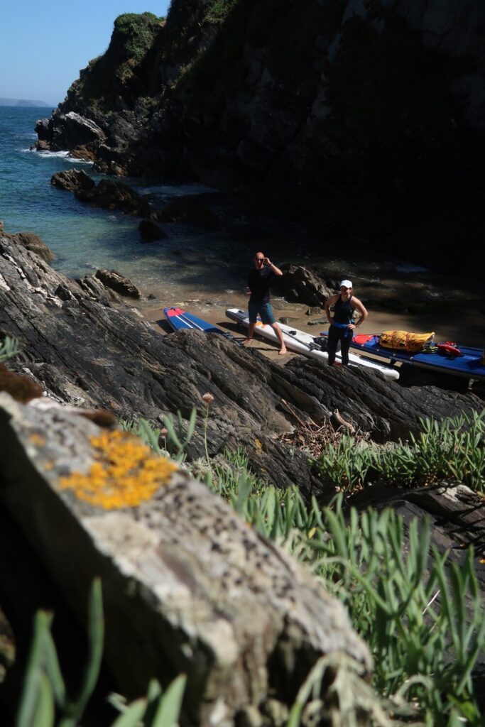
Taking a break in an inaccessible low-tide only cove before rounding Rams Head, the big headland to the west of Plymouth Sound.
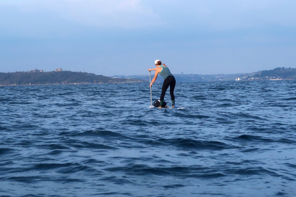
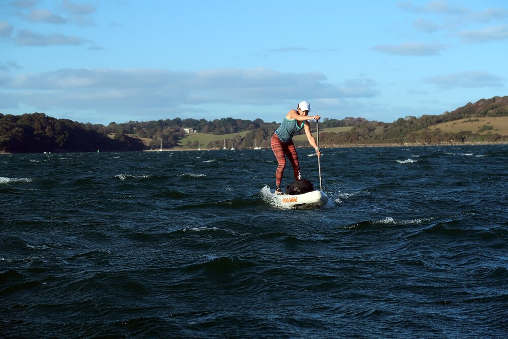
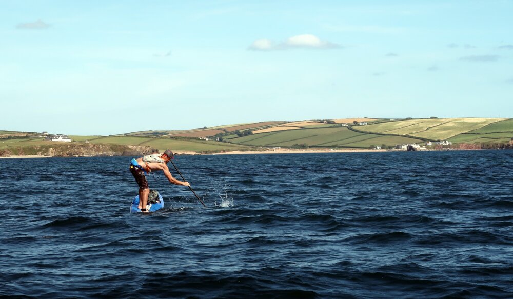
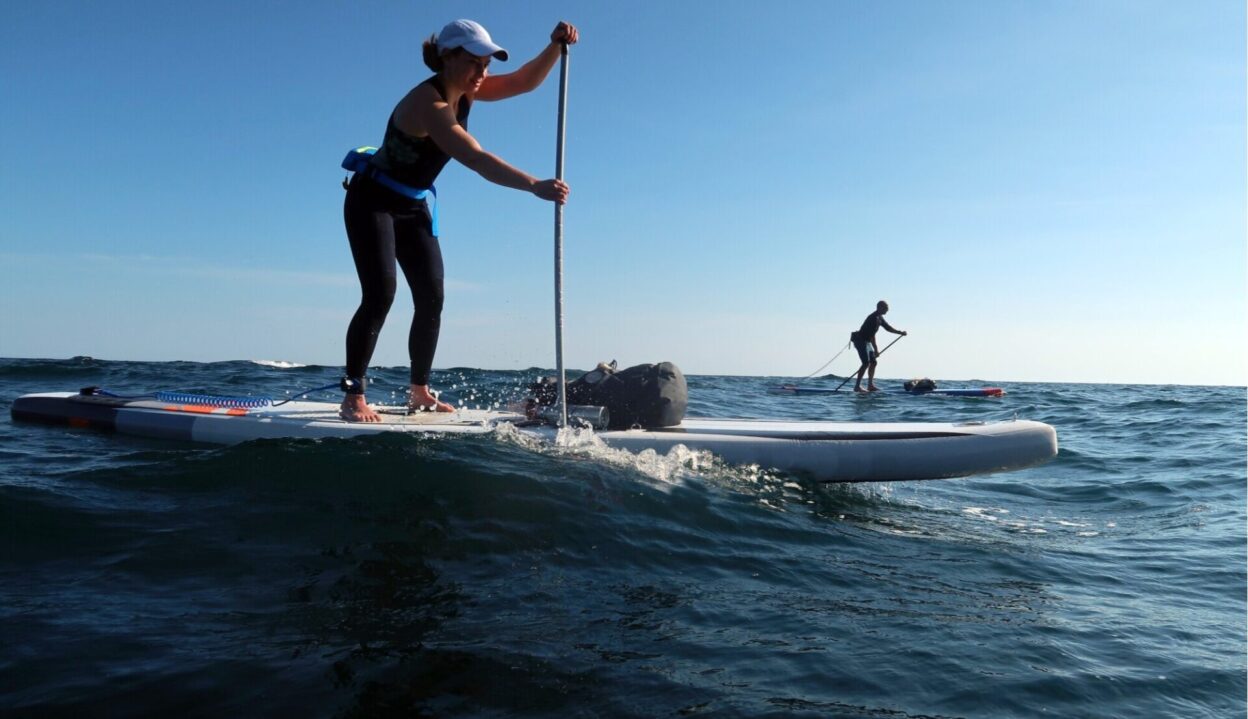
Piloting a SUP in the open sea for a long period requires strength, agility, good balance, and total concentration
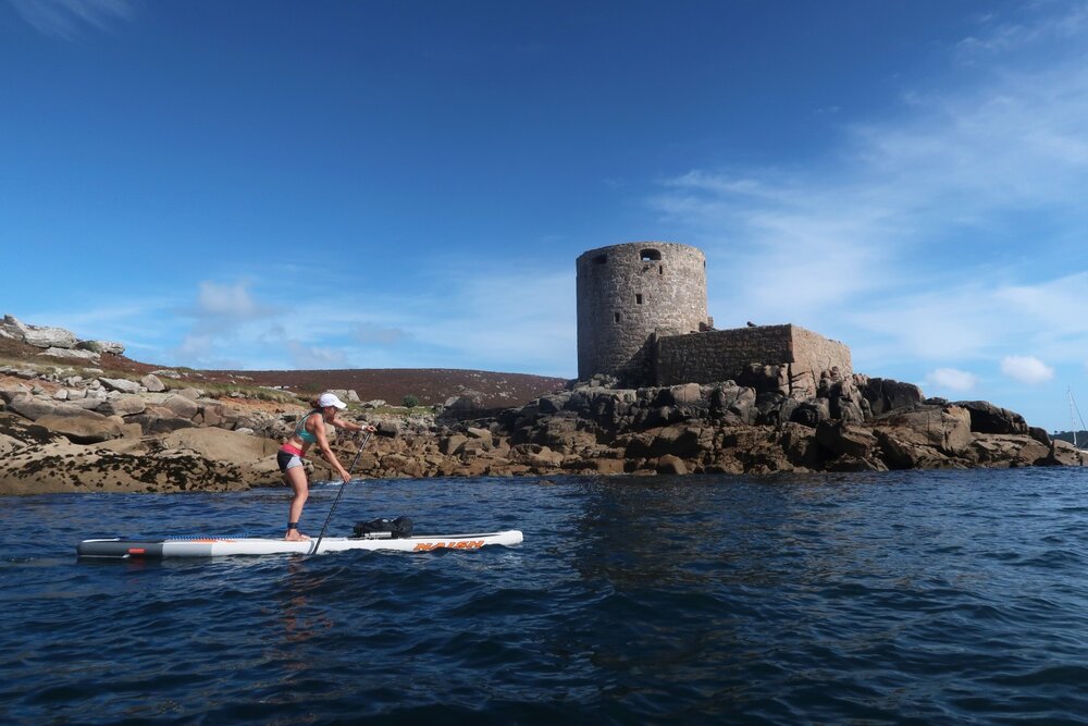
Cruising past the peculiar bastion of Cromwell’s Castle, the tiny fortress guarding the north entrance of the Tresco Channel that divides Brhyer and Tresco in the Isles of Scilly. It was constructed, as the name suggests, during the English Civil War.
Casting Adrift
It all began in August 2017, when I launched from the small harbour at Porlock Weir on the Exmoor coast on a humid, hazy afternoon, heading west on the powerful ebb current. A couple of hours into the trip, I met my first fellow traveller.
‘I think you’re bloody mad, mate’.
The old fisherman’s voice drifted out across the ink-dark water off Foreland Point, the broad headland that extends into the sea off the purple hills over Countisbury. I took his words as a muted compliment; it turned out he’d never seen anyone on a paddleboard off the Exmoor coast before.
It was the final hour of the ebbing tide, and the low chug of the fisherman’s inboard engine quickly faded as I headed west. As with most of the larger headlands around the coast of Southwest England, a fierce tide race forms off Foreland Point in choppy conditions, creating big overfalls and standing waves.
Today, though, the wind was light. Green shadows extended across the sea, and it was hard to imagine the violence of the race in full spate. Even so, in half an hour the beginning of the flood [incoming tide] would be racing up into the Bristol Channel from the Atlantic. Only a short distance remained to Lynmouth, where the East and West Lyn rivers meet at the end of their descent from the high country of west Exmoor before bubbling into the sea.
The tide forces so much water into the bottleneck of the Bristol Channel that this region experiences the world’s second largest tidal range after Canada’s Bay of Fundy. On spring tides, which occur twice a month, the difference between high and low water can exceed fourteen metres at Avonmouth. By using this spectacular tidal power to your advantage, you can travel seriously fast along this coast, making relatively long sections possible within the window of favourable current.
In May 2018, after completing various sections of the Dorset and South Devon coast, I pushed off from Lynmouth just before noon on a perfect early summer morning. I intended to use the tide to travel beyond Bull Point and to the very end of the Exmoor Coast at Mortenhoe, where the Bristol Channel meets the Celtic Sea.
A fresh easterly breeze was forecast, and I picked it up as soon as I was away from the shelter of the land, clocking eight knots as I travelled across Woody Bay, catching and riding the following swell in the classic ‘Hawaiian downwinding’ style. The tide was already ebbing fast, speeding my progress west past the isolated beach at Heddon’s Mouth. During World War Two, crews from German U-boats apparently made secret night landings at Heddon’s Mouth by dingy to replenish their supplies of fresh water from the stream that flows into the sea. How did this lonely beach look to a German naval submariner on a dark night in the 1940s?
A moment of reflection offshore in Lyme Bay, west Dorset coast.
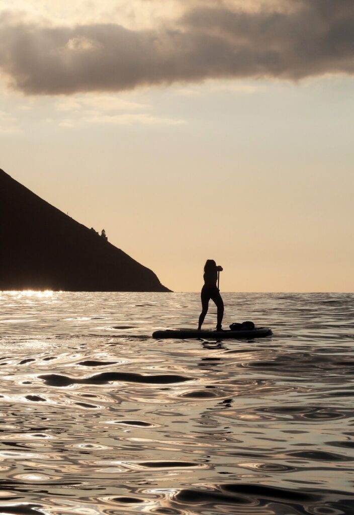
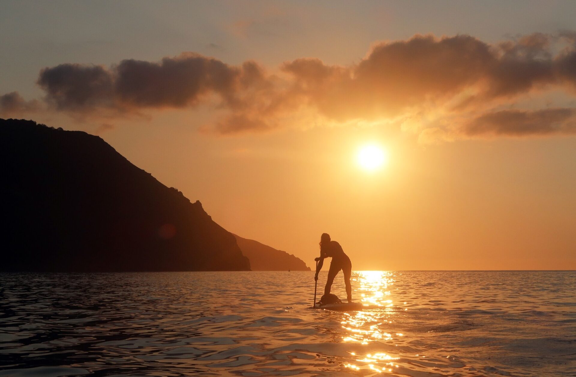
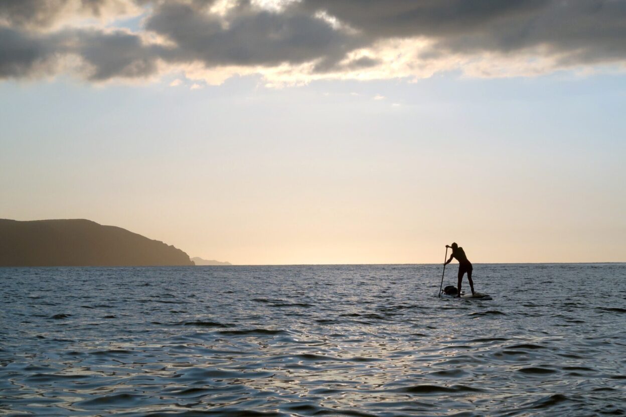
Days of the Celtic Sun: heading west across a shining evening sea towards Foreland Point, Exmoor coast.
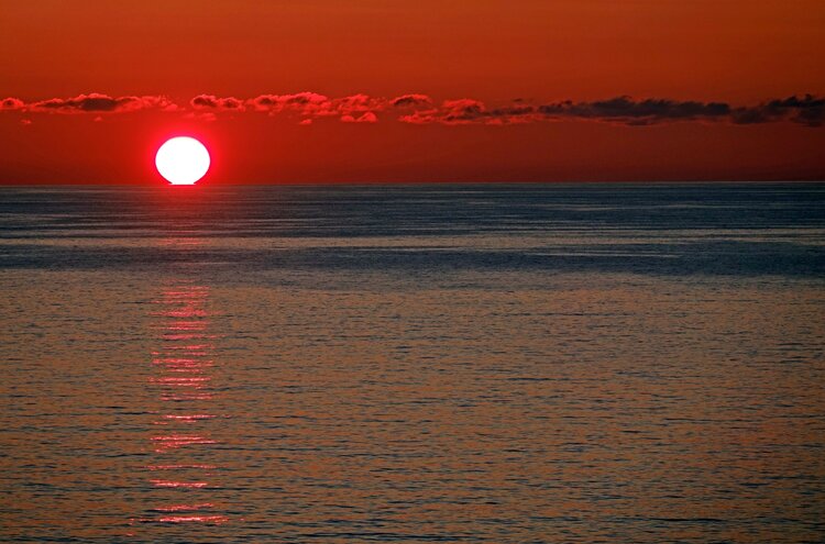
The midsummer sun sinks into the Atlantic off Port Gaverne, North Cornwall.
Piloting a SUP in the open sea for a sustained period requires strength, agility, good balance, and total concentration. The only way to maintain pace and focus is by staying well hydrated and by maintaining energy levels; taking regular short breaks is a good strategy.
A few miles west, Great Hangman, one of Britain’s highest mainland cliffs, slopes almost a thousand feet down into the sea like a slumbering primeval beast. The wind slackened off here and my pace slowed. An hour later, I’d made it to Lee Bay, and picked up the last of the ebb tide rounding Bull Point’s prominent lighthouse. Morte Point was the last obstacle of the day’s voyage, a slender prow of rock shelving into the sea in the menacing shape of a crocodile’s jaw, guarding access to Woolacombe Bay – my final destination.
Approaching the point from the east, I picked up a southwesterly groundswell, and my speed dropped back considerably. A tell-tale micro eddy around a lobster pot confirmed my suspicion: the tide had already turned and was running against me. I calculated that if I couldn’t make it around the point due to the strength of the early flood current, I could safely land in one of the coves just to the east from where I could pack up the board and reach the coast path. A huge logistical and safety advantage of inflatable SUPs (compared to sea kayaks) is the ability to land almost anywhere, pack them up, and walk out to the nearest road. With that fallback plan in mind, I turned the board nose to the tide, and headed west into the stream.
In local Exmoor lore, it’s said that Morte Point is ‘the place that God made last and the Devil will take first’. One of the reasons this headland has been the site of so many wrecks is that, unusually, there’s no inshore passage of calm water between the point itself and the fierce tide race just beyond it. Even on the calmest days, confused waves break in different directions across the jagged rocks, forming a treacherous cauldron of swirling swell. Compound this with the tide running off the point at four knots, and you’ve got a seriously challenging environment. Morte Point is definitely not a place to be navigating around in the wrong conditions.
The power of the tide became obvious as soon as I was paddling against the main flow as I rounded the point. Staying some way out to sea beyond the offshore rocks to stay clear of the breaking waves, the nose of my board pitched and dived through the overfalls and eddies of the race. The groundswell coming in from the west amplified the size of the waves, but I cleared the point successfully and entered calmer water on the westerly side. It wasn’t quite over though.
A glance at the rocks two hundred metres to my left revealed my position as almost stationary, despite the fact I was paddling flat-out. The flood current was running hard now, hauling me back towards the violence of the race. The prospect of negotiating those overfalls for a second time did not appeal, so checking my speed as I cross-referenced a series of fixed points on the headland, I made a ninety degree turn and executed a rapid ferry-glide across to the shore, making final landfall in a sheltered, sandy cove just north of Mortenhoe. In the thirty-three kilometers from Lynmouth, this final stretch against the tide had been the most challenging – and tiring – by far.
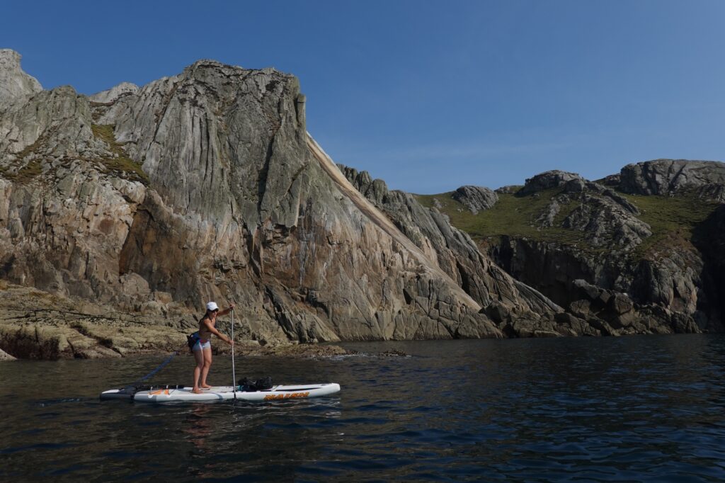
Dorka Fekete crossing the dramatic channel between Tresco and Bryher en route to Hell Bay on the northwest coast of Bryher, Isles of Scilly. The small islands in the background are Men-a-Vaur (L) ad Round Island (the island with the lighthouse), the most inaccessible of all the Isles of Scilly, and the very southwestern extremity of Britain. Next stop Brazil!
The Atlantic Coast
The wild stretch of huge cliffs, inaccessible bays, and reefs between Clovelly and Bude, known as the Culm Coast, is a place of solitude and mystery. It is home to some of the best sea cliff climbing in Devon, and I’d always wanted to see the places I knew so well as a climber from the different perspective of the sea. I set off from Clovelly on a cloudless June morning in 2018, heading west for Hartland Point. I had to deal with a punishing headwind all the way on this section, and finally rounded the point after a three hour tussle, taking the easy inshore passage through the tide race, only to hit a strong eddy current running against me for several hundred metres. This often happens after rounding a big headland and is always something to be wary of; I’ve noticed it is particularly likely to happen if the headland sits at a right-angle shape to the coast. St. Aldhelm’s Head in Dorset and Dodman Point in Cornwall both produce the same effect from similar topography.
The following day, between Bude and Hartland Quay, a distance of just over twenty kilometres, I didn’t see a single other craft on the water after setting out at first light from Crooklets beach; just a lone hiker silhouetted against the clouds as the sun rose behind the five hundred foot cliffs around Cornakey. Riding the early morning tidal stream half a mile off Lower Sharpnose Point, the best crag of the Culm Coast for rock climbing, I drank some hot black coffee from my flask as the first rays of the sun lit up the inky contours of the swell. Perhaps the great landscapes of the heart are not those that you travel halfway across the world to find; they’re sometimes just beyond your own front door.
Further southwest, a little later that summer, the tide was running strongly with me as I cut through the lively race that forms off the point west of Crackington Haven. The momentary drama of the overfalls were overshadowed, though, by the almost continuous rampart of enormous shale cliffs in the distance – some up to 600 feet high – stretching southwest to Tintagel as I cleared the point.
Passing Beeny Cliff, the coast is a geological marvel of massive, impregnable shale cliffs and offshore stacks. It’s truly awe inspiring. The tiny natural harbour of Boscastle, in what’s otherwise an inhospitable coast with no sheltered anchorages, is almost unbelievable when approached from the sea. Between two sheer walls of jet-black stone, a narrow, north-running inlet suddenly appears, only becoming truly visible once you’ve actually crossed the harbour bar.
As I was packing up the board on the quay at Boscastle, a man and a boy approached me, inquisitive about where I’d come from, and how I’d travelled. I told them briefly about my voyage. The man then exclaimed in a dead-pan tone:
‘Well, great to meet you. My name’s Robert. I clear out the houses of the deceased.’ Had I drowned and slipped into a parallel universe? It was a surreal and fitting welcome ashore after paddling one of the wildest sections of the southwest coast alone. Robert and his son even gave me a lift back over to my car in the back of their van; I speculated about how many lifetimes’ worth of stuff it had contained as we rattled along the deep Cornish lanes
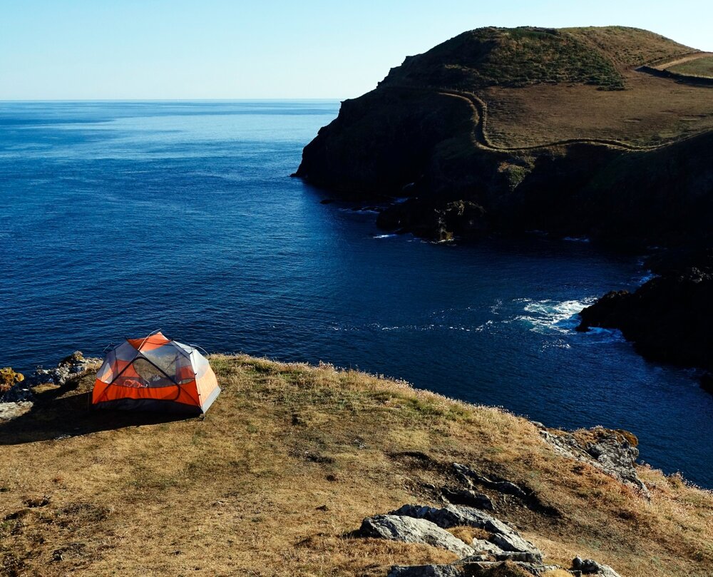
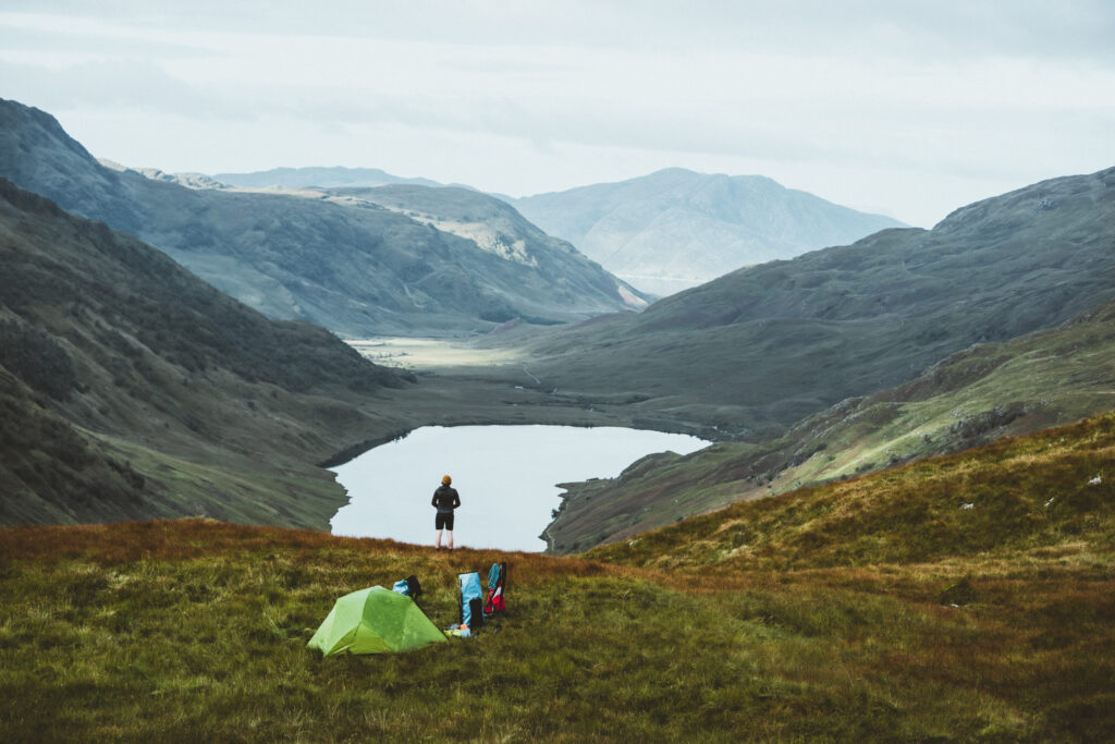
Best wild camping spot in Southwest England? A room with a view somewhere near Port Isaac.
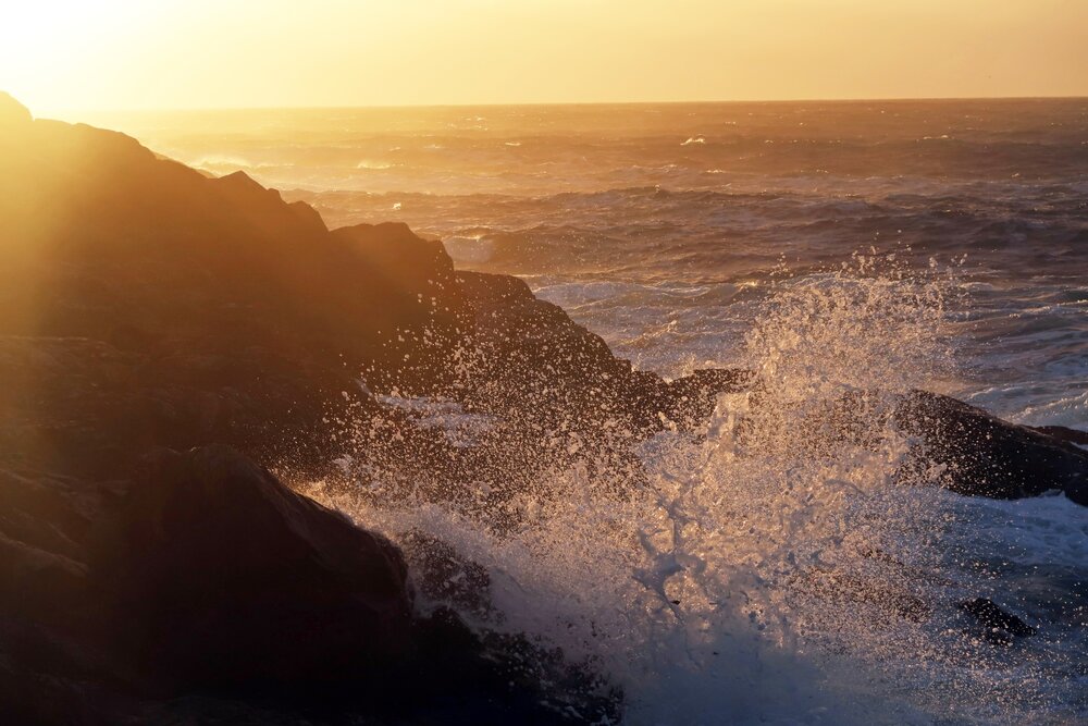
The Atlantic meets the rocks at Boat Cove, West Penwith, Cornwall.
A few weeks later, on a day of unreal Mediterranean conditions, I launched through turquoise water and half a metre of beach surf at New Polzeath under azure skies and a blazing sun. Was this Cornwall or Sardinia? Cutting the corner from Pentire Point across to Tintagel took me far out to sea. Rounding this epic headland, famous for its links to Arthurian legend, was the highlight of the journey, with a lively tide race running through very deep water directly under the three hundred foot cliffs at the apex of the point.
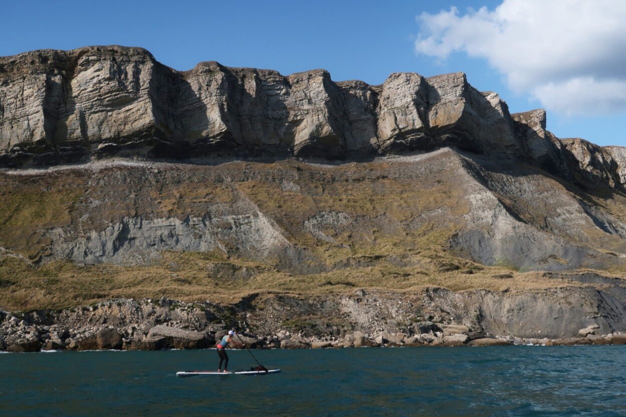
The equally impressive section between Padstow and St. Ives – passing the great headlands of Trevose, St. Agnes, and finally Godrevy – was completed a little later, over four separate days, taking me to West Penwith and the point where the Celtic Sea meets the English Channel. Rounding St. Agnes Head, under the sheer cliffs of Carn Gowla, was particularly exciting. There was a decent wind-chop, which combined with the clapotis effect [when the waves go in both directions] made the sea pretty lively. I avoided the worst of the tide race here by navigating an almost invisible channel cleaving through the cliff on the seaward apex of the headland that was at one point only just wide enough for my board.
If I were forced to choose, the final twenty-eight kilometre section from St. Ives to Sennen Cove is perhaps the finest section of the north coast of Southwest England. The wildness of the granite and greenstone cliffs, interspersed with occasional tiny bays and offshore rocks, between Cape Cornwall and Zennor Head is simply astounding. I know the crags and zawns of this coastline well as a climber, but to experience the place from the wilderness of the sea takes it to another level. Grey seals, dolphins, basking sharks, and ocean sunfish [mola mola] can often be seen here. What makes this trip really committing, particularly if there’s any swell, is the fact that there is really only one safe landing along the entire route, at Boat Cove.
On another vintage Cornish day in summer 2018, I launched from the slipway at Sennen Cove just after low water. My destination, the small harbour of Mousehole, lay beyond Land’s End, where the different tidal streams of the Celtic Sea to the north and the English Channel to the south converge, creating lots of complicated inshore and offshore currents: this is the very edge of mainland Britain. Without much swell to worry about, I navigated close to the cliffs, through granite arches and spooky zawns filled with the boom of the sea. Tidal rapids often form along here in the narrow channels between the headlands and the jagged reefs that surround them; perfect for a bit of whitewater action. To say the paddling here is world-class is something of an understatement. About half a mile offshore, somewhere between Land’s End and Chair Ladder, the rudder-like dorsal fin of an ocean sunfish flapped lazily for a while against the side of my board before it plunged back into the deep.
Rounding Chair Ladder and passing the coastguard lookout on Hella Point, I’d crossed the official threshold of the Celtic Sea and entered the English Channel. The groundswell dropped back as I turned north, and a fresh westerly tailwind whipped across the deep blue water.
Tidal rapids form in the channels between the headlands and the jagged reefs surrounding them
Speeding beneath the spectacular precipice known as Gadd Cliff to the west of Kimmeridge Bay on Dorset’s Jurassic Coast, powered up by a three knot tidal current and a Force 4 tailwind.
The English Channel
Half a mile off Porthcurno, the combined effect of the wind and the last of the flood current carried me east at speed towards Penzance, the first and last sheltered harbour in the English Channel. With the wind and tide in my favour, I reached the shelter of Mousehole quay’s solid granite walls in quick time. It had been a truly exhilarating day.
The Lizard peninsula juts out into the Channel to form the most southerly point in Britain. Where the broad shelf of volcanic rock (an exposed ophiolite complex) that comprises Lizard Point finally meets the sea, it erupts in a kind of maze of jagged, shallow reefs that criss-cross one another. Add to this the fact that the Point experiences some of the strongest tidal streams anywhere in Cornwall, and you’ve got yourself a working definition of the phrase ‘a ship’s graveyard’.
We set off from Coverack on Easter Sunday 2019, heading south for the Lizard on a perfect spring morning. The sea was oily-smooth at first, but by the time we neared Lizard Point, the tell-tale gusts of a brisk westerly were beginning to make their presence felt. We flew past the Coastwatch Station at a steady seven knots, and soon passed the Lighthouse looming over Housel Bay on the most southerly point of the Lizard.
Our original plan had been to land at Mullion Cove on the western side of the Lizard peninsula. As we approached the southern tip of Britain – the place where the Spanish Armada was first sighted in July 1588 – I noticed a menacing looking line of heavy surf on the outer reef to the west of the Point, and remembered the story about two sea kayakers, Chris Duff and Mick Wibrew, who were both wrecked on Lizard Point in huge seas during their round-Britain paddle. This forced a quick strategy change, and we landed in Polpeor Cove by the ruined lifeboat station on the Point itself. We completed the equally dramatic section from Porthleven in Mount’s Bay to the Lizard the following year, in August 2020, landing in exactly the same place as before.
Gavin Symonds (L) and Dorka Fekete (R) completing a fast and bumpy downwinder from Portland harbour to Ringstead Bay, Dorset, in a Force 6 southwesterly.
Dorka Fekete heading for Pendennis Castle at a dramatic entrance of Carrick Roads, Cornwall on an October evening tide after the 20km voyage from the Lizard Point, the most southerly tip of Britain. The tall ship on the horizon is sailing for St. Mawes, just to the east. One of the most appealing aspects of SUP voyages in the open ocean is the sensation of being completely connected to what the sea is doing.
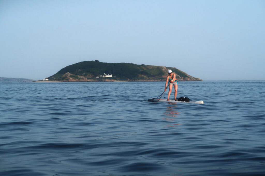
St. Mawes, just east of Falmouth, is like an artist’s impression of a Cornish fishing port. It oozes an old fashioned seaside glamour; a hint of what summers used to be like – or what we’d like to imagine they were like – before package holidays to Benidorm. I set out alone from the quay at quarter to eight on an azure July morning in the summer of 2020, heading northeast for Mevagissey, a full twenty eight kilometres northeast.
I turned northeast at St. Anthony’s lighthouse on Zone Point, exiting Carrick Roads and entering the open sea, and the brooding prow of Dodman Point appeared dead ahead on the horizon. Dodman, the highest headland in South Cornwall, was often the first land sailors in the past would have sighted when entering the English Channel. It’s a stirring thought to think of those men on the creaking decks of sailing ships glimpsing it on the horizon, as they returned from months or years at sea.
Pausing for a break close to the offshore island known as Gull Rock, off Nare Head, I took in the scene. The sky was an unbroken, impossible blue. The faint breath of a northeast wind ruffled the sea from time to time, broken only by the distant cry of gulls from the cliffs. I could think of no better place in the world to be on a Sunday morning in early July than out here, half a mile off Cornwall’s Roseland Coast. It was like one of those dreamlike days from a childhood summer: a moment held still in time. Two hours later I landed on the fish dock at Mevagissey in a state of Zen-like calm and rapture, my spirits lifted by the freedom of the sea.
The section of coast between Mevagissey and Fowey is dominated by the huge bight of St. Austell bay. This can be made into a superb trip by launching from Lostwithiel, a few miles inland, at high water; you head down the Fowey river on the outgoing tide, enter the sea, then cross the bay itself. When we did it in the late summer of 2019, a brisk east wind helped our progress west-south-west.
Dorka Fekete catches the bumps heading south towards Falmouth down Carrick Roads (the Fal estuary) powered up by a Force 5 tailwind.
Gavin Symonds find the point of balance in a following sea in Bigbury Bay, South Devon.
Once we were into the wind-line we were immediately doing seven knots with a steady following swell
Downwind standup paddling on a following swell is a real delight, once you’ve mastered the strange art of ‘catching the bumps’ as the technique is known; essentially it means SUP-surfing a wind-generated wave that isn’t fully breaking.
Much of the southeast Cornish coast between Plymouth Sound and Fowey was completed this way. Rounding Rams Head, the big, blunt headland west of Plymouth Sound, was a highlight. Once we got out from the shelter of the Sound and into the wind-line, we cruised across to Downderry at a steady seven knots, with a following swell and a fresh southeasterly powering us along. Who needs the Molokai Channel when you’ve got the English Channel? The coast east of Plymouth is dominated by the dramatic sweep of Bigbury Bay. Here, on another day of exciting following seas, we sped downwind from Wembury to Hope Cove. The more spectacular section to the east then leads around Bolt Head, Prawle Point and Start Point, the latter defining the western extremity of the vast ‘lee shore’ that is Lyme Bay. In the days of sailing ships, this was a trap in strong southwest winds, driving many vessels to their fate on the mighty shingle reef of Dorset’s Chesil Beach.
Whilst the fast tide races off Bolt and Prawle are fun in their own right, rounding Start Point is particularly exciting. When approaching from the west, the flood tide pulls you straight down towards a pair of huge, flat-topped rocks that lie just offshore beyond the lighthouse. The idea is to keep as direct a course as possible through the narrow gap between the rocks as you rise and dive through the overfalls.
After Start Point, the rest of the South Devon coast is less dramatic and more benign, although the section between Blackpool Sands and Brixham is idyllic. North of Dartmouth, the English Riviera’s Air Show made things more interesting. As we negotiated the offshore Mew Stone rock, the bassy drone of an Avro Lancaster’s V12 Merlin engines seemed to make the sea simmer as the plane banked south overhead.
Dorka Fekete and Gavin Symonds enjoy perfect downwind conditions in Whitsand Bay, South Cornwall.
Burn for the Harbour
I slowly pieced together the remaining sections of the East Devon and Dorset coast through the summers of 2019 and 2020. Dorset’s Jurassic coast between Weymouth and Poole Harbour – and the final section of my journey – is a unique marine landscape. I used to sail here with my dad thirty years ago, and I’ve spent hundreds of days rock climbing on the sea cliffs of Swanage and Portland, so this place is very special to me. On the section between Lulworth Cove and Kimmeridge, we enjoyed perfect downwind conditions off the jenga-like precipice of Gadd Cliff. Here, the days that my dad and I spent offshore along this coast during my childhood summers came rushing back. Getting lost in the fog, camping on storm beaches, fishing off the back of the boat, refuelling with my grandma’s cheese sandwiches; all the good stuff.
The past is, of course, a foreign country, as the writer L.P. Hartley said; the USSR still existed back then, and the internet didn’t. But the past is also close behind us, and it shapes who we are today. I’m sure it was those days off the Dorset coast as a kid that instilled my love of the sea that eventually led to this expedition around Southwest England.
I’ve been lucky enough to have travelled all over the world since those early adventures with my dad. Even amongst expeditions to some very remote places, paddleboarding the coast of Southwest England over the last four years counts as one of the greatest adventures of my life. It was an ever-evolving psychodrama of things past, passing, and to come: a mission of the heart. There was also, it seemed, an element of poetic justice in the way I entered the expedition’s final stages during the summer of 2020 when long distance international travel was effectively put on hold. Some of the best adventures of all, I have begun to understand, are often found just beyond your own backyard. In August 2020, doing some island-hopping in the Isles of Scilly, a pod of bottlenose dolphins circled our boards for a few minutes in St. Helens Gap, just off the north coast of Tean island. Rising for air, vanishing, then appearing again, they moved as silver shadows through the blue water, signalling something to us in their own indecipherable language. Where else would you want to be?
On the course of the voyage, I also encountered the hydrographic systems in action in the most direct possible way: the tidal streams, wind currents, and swell cycles that surge perpetually around all the British islands, under the summer sun and through the winter rain. Out there on the water, their awesome results are right there before us. Strange standing waves two miles out. Huge eddies in the no-man’s-land between cliff and reef. The darkness of the sluicing water before the outer rocks. The evening light on the stream as it flows far out and away.
The unfathomable power of the sea.
Epilogue
I’m in the middle of Mounts Bay, the great bight between Land’s End and Lizard Point in Cornwall. It’s a gold and blue September afternoon. My journey around Southwest England is almost done; this is one of the last remaining sections I’d left uncompleted. I’m about half a mile offshore. The old mine buildings of Trewavas on Rinsey Head stand proud and tall against the Atlantic. A lone local fisherman in an open boat is pulling up lobster pots, his blue hull merging at times with the waves; ghostly reminders of the days when tin and fish were Cornwall’s great raw materials. In a moment of intense clarity, I inhale the crisp Atlantic air, turning my bow west into the sun. The harbour at Porthleven is not far off, but the land behind me blurs into a mirage. Out here, I seek another reality from the one I shall find ashore. I am alone in a world of wind, silence, and light. I am free here; as free as I have ever been. The sky burns the horizon with its brightness, and shards of refracted crystals dance on the dark blue water. In the ocean’s mirror, the sound and fury of the world is reflected back at us for what it is. Real adventure isn’t just about a route across a map, but also a quest for what lies at the heart of your own life. And somewhere on this shadow-sea you might find the unknown world ahead, the voyage to come.
—
The author would like to thank Gavin Symonds, Dorka Fekete and Kelly Vargas, who paddled with him on numerous stretches of the journey described in this article. No support boats or land-based support crews were used on any sections of the expedition.
Don’t miss a single adventure
Sign up to our free newsletter and get a weekly BASE hit to your inbox
Other posts by this author
Story • David Pickford • Apr 12, 2023
West by Northwest: Lundy Island by Standup Paddleboard
An open-water SUP voyage from the north coast of Devon to the iconic island of Lundy
Story • David Pickford • Jul 24, 2022
Vectors in the Stream
A voyage between islands across some of the world’s strongest offshore tides
Story • David Pickford • Feb 04, 2022
Tidelands
Travels in the unexpected wilderness of the Bristol Channel
You might also like
Video • BASE editorial team • Apr 26, 2023
5 Tips For Taking Care Of Your Paddleboard
Expert advice for keeping your SUP in top condition
Story • David Pickford • Apr 12, 2023
West by Northwest: Lundy Island by Standup Paddleboard
An open-water SUP voyage from the north coast of Devon to the iconic island of Lundy
Story • Aaron Rolph • Nov 16, 2022
The UK’s Last Remaining Wilderness
A hike and SUP adventure to discover Knoydart, a wild peninsula in the Scottish Highlands