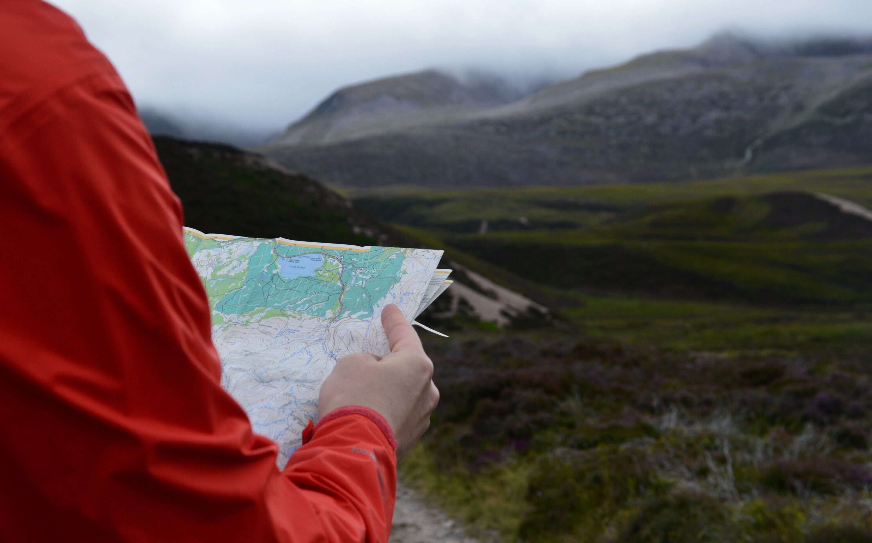
Hiking App Makes Changes After Mountain Rescue Callout

An AllTrails spokesperson says ‘trail safety is of the utmost importance’

Read time 2 mins

Published Jan 09, 2023

Base editorial team
BASE editorial team BASE writers and editors who live and breathe adventure every day. We love adventure storytelling as much as we love adventure itself.

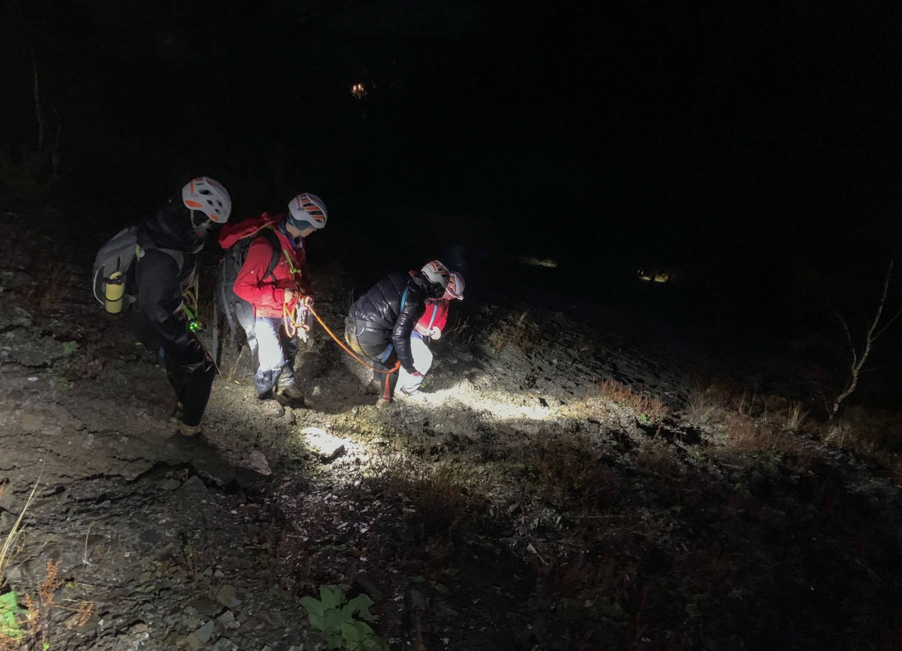
Walkers were assisted down from Barf fell in the northern Lake District © Keswick Mountain Rescue Team

Keswick Mountain Rescue Team attended their fourth callout of the year last week, responding to a call from three walkers who had found themselves lost in fading light and poor visibility on a Lake District fell. The walkers had been following a circular route to Lord’s Seat using the AllTrails app and were descending via the recommended trail down a steep slope from Barf.

In a post on Facebook, Keswick MRT said: ‘There is no path via this route, only a scramble of loose scree, which also requires the walker to negotiate the rocky outcrop of Slape Crag (the scene of previous callouts). The three women were descending their route and had negotiated the difficult down-climb of Slape Crag, but with fading light and poor visibility they became cragfast and wisely dialled 999 to request Mountain Rescue help.’

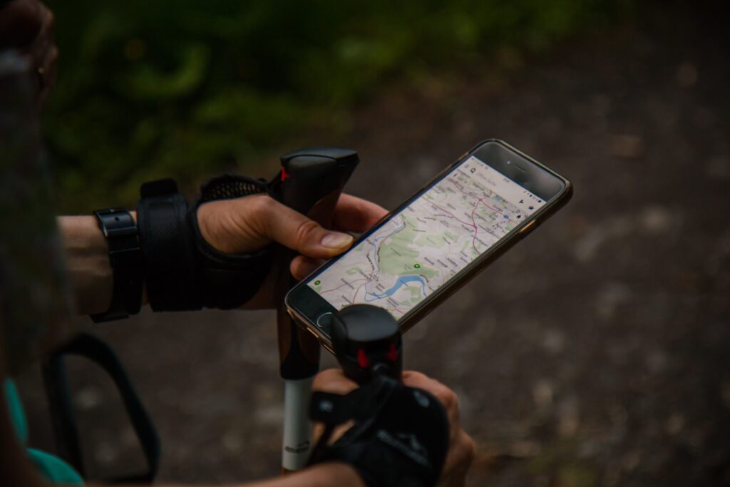
Mapping apps have become increasingly popular in recent years. © Antonio Grosz

Trail safety is of the utmost importance to AllTrails

A small team were dispatched to locate the walkers, who were equipped with helmets and harnesses and a rope back-up to assist with the rest of their descent. All three were uninjured and safely returned to their vehicle.

A spokesperson from AllTrails told the BBC that they had ‘conducted a review of this particular trail’ and the map had been updated.

‘Trail safety is of the utmost importance to AllTrails and we work directly with parks and land managers to ensure the public receives the best possible information’, they said.

Mapping apps have become a staple for many hikers, runners and bikers in recent years owing to their ease of use and compatibility with smartphones or watches, and play a key role in making the outdoors more accessible for all. Some apps use a community mapping system that allows users to record and upload the routes that they have taken, adding images and stats such as elevation gain to the recorded trail. Other users can then leave feedback on the route, which can help others to choose a suitable trail for themselves. Little or outdated feedback however can cause complications.

‘Users can also help us maintain accurate and up-to-date trail pages by suggesting edits or leaving reviews’, said the spokesperson, also stating that users should look for trails with recent reviews and pictures of the ‘most up-to-date trail information’.

AdventureSmart UK recommends always carrying a back-up paper map and compass when using an app © Ali Elliott

The vicinity of Slape Crag has been the scene of numerous rescues over the years, and Keswick Mountain Rescue commented that this particular callout served as ‘another reminder that some mapping apps have serious limitations’.

The AllTrails spokesperson said the app was ‘one part of the important preparation that everyone should follow to have a safe and positive experience on the trail. We have contacted the Keswick Mountain Rescue Team to see how we can partner to improve trail safety’.

Mapping apps are widely considered a convenient and generally reliable means of navigating, and carrying a mobile phone can add an element of safety for hikers too. AllTrails’ guidelines recommend walkers know their limits and don’t attempt a trip outside of their comfort zone, and AdventureSmart UK recommends always carrying a back-up paper map and compass when using an app.

You can find more helpful information on how to stay safe on the trails here.     

Don’t miss a single adventure

Sign up to our free newsletter and get a weekly BASE hit to your inbox

  • facebook
  • twitter
  • linkedin
  • whatsapp
  • reddit
  • email

Other posts by this author

BASE editorial team • October 11, 2024

Ash Dykes Becomes First Person To Travel Length of Uncharted Amazon River

The team celebrate in the deep Suriname jungle.

BASE editorial team • August 07, 2024

Olympic Surfing Competition Photobombed by Whale!

An unexpected visitor joins the semi-finals in Tahiti!

BASE editorial team • March 22, 2024

Warmshowers Unveils New Website For Touring Cyclists And Hosts

Warmshowers.org Foundation, a non-profit dedicated to connecting touring cyclists with generous hosts worldwide, unveils a new website.

You might also like

BASE editorial team • October 11, 2024

Ash Dykes Becomes First Person To Travel Length of Uncharted Amazon River

The team celebrate in the deep Suriname jungle.

BASE editorial team • August 07, 2024

Olympic Surfing Competition Photobombed by Whale!

An unexpected visitor joins the semi-finals in Tahiti!

BASE editorial team • March 22, 2024

Warmshowers Unveils New Website For Touring Cyclists And Hosts

Warmshowers.org Foundation, a non-profit dedicated to connecting touring cyclists with generous hosts worldwide, unveils a new website.